  |
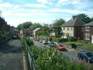
Grimshaw Lane, once called Greenshaw Lane, runs from the junction of Henshall Road and Wellington Road up the hill to Kerridge, at Stakehouse End, the junction with Jackson Lane and Chancery Lane. The top 40m is in Kerridge. Approach off Henshall Road, Wellington Road, Jackson Lane. Leads to Field Close, Clough Bank, Adelphi Mill, Bailey Business Park, Pearson’s Yard, Beechway, Cedarway, Greenfield Road, Bamford Close, Fairfield Avenue, Bishop Road, Hurst Lane, Chancery Lane. Footpath to Grimshaw Avenue. Nearest shops – corner of Greenfield Road, Wellington Road. Nearest pubs – Bayleaf, Bull’s Head. Council Ward – From Wellington Road to the canal aqueduct, Central; above the canal aqueduct, East, except No.66 which is in Central. |
|
|
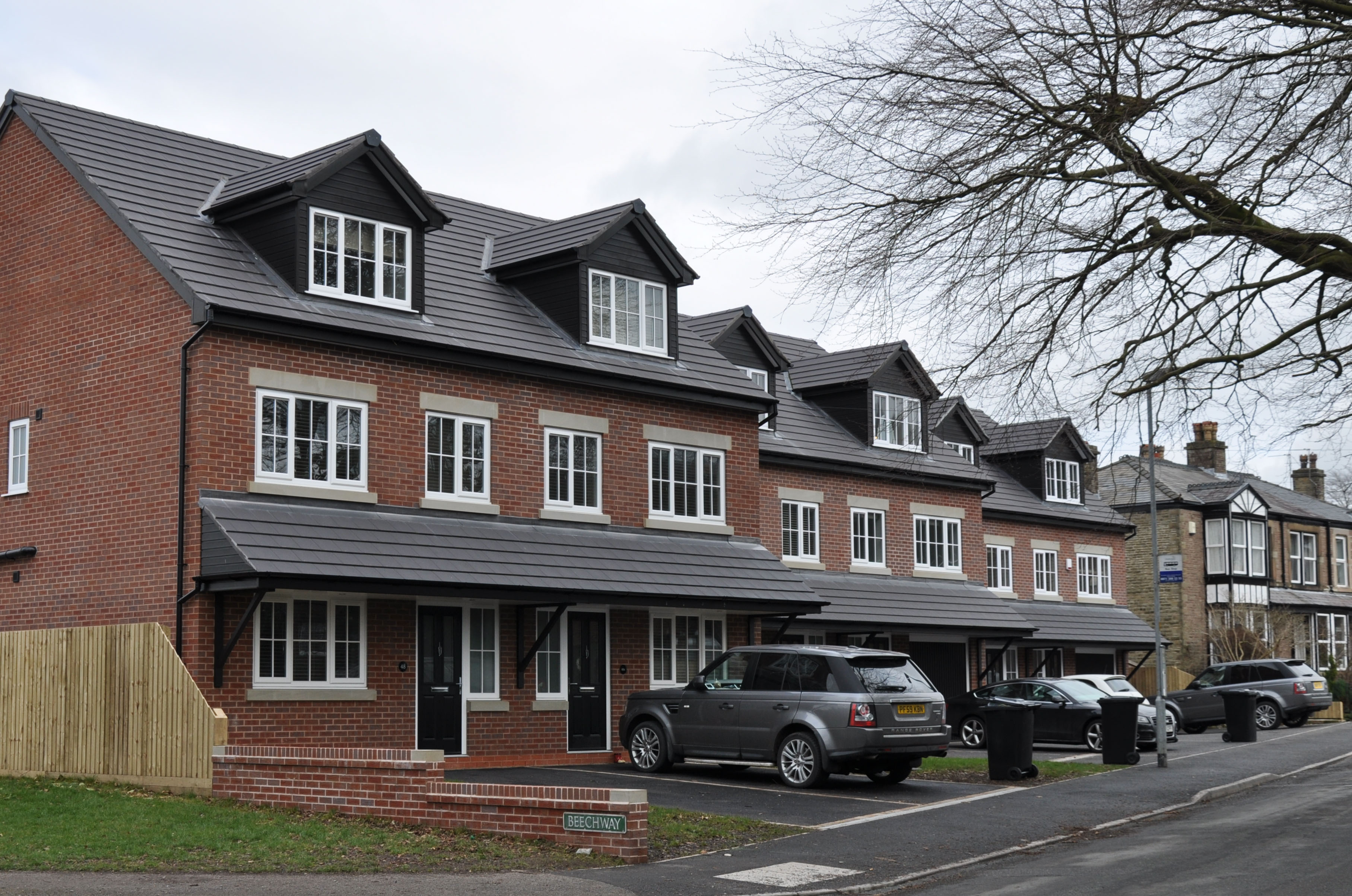
Three pairs of new semi-detached houses completed very early 2018 have received positive comments from the local community of their suitability for the street. |
 |
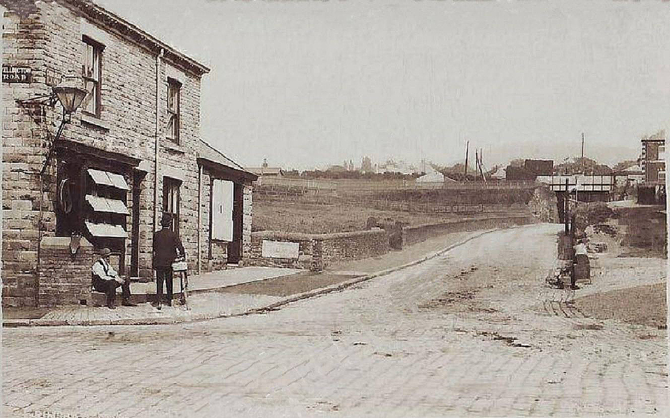
Grimshaw Lane passes through the Middlewood Way at its only road crossing without a bridge, then under the Macclesfield Canal aqueduct. The road used to be two roads – the part below the canal aqueduct was known as Commercial Road and that above the aqueduct Greenshaw Lane; it is marked as such on the 1862 map but when and why this was changed I don’t know. It is possible that Greenshaw was simply a misunderstanding on the part of the map draughtsman. I also have an early 20thC plan of Adelphi Mill (below the canal) showing the lower part as Greenshaw Lane. |
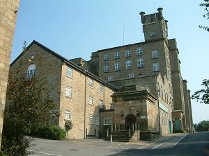 |
Between the Middlewood Way and the canal there are a number of commercial activities. Clough Bank is a small industrial estate built on the Macclesfield, Bollington & Marple Railway goods yard. The now demolished railway bridge over Grimshaw Lane was exactly where the entrance to Clough Bank is today. Opposite is the Middlewood Way and the location of Bollington passenger railway station. The railway was closed in 1971. Other industrial activities include Bailey Business Park opposite Adelphi Mill (left). On the uphill side of the canal is Bollington Wharf where various boating activities take place and is also the mooring place for the restaurant boat White Nancy [YouTube video]. |
| Bailey Business Park is the yard and industrial units opposite Adelphi Mill. Pearson’s Yard is a further industrial area behind Bailey Business Park with access via the drive to the right of the business park. | ||||||||||||||||
|
Further up Grimshaw Lane is St John’s School and its playing field. This school was built in 1963/4 when the old one in Church Street was cleared for the Vine Street re-development. Hollin Old Hall is close to the top of the road. The junction with Hurst Lane was once known as Gatley Green, possibly in recognition of the Gatley family who lived nearby and quarried stone in Kerridge Hill. Alfred Gatley was a notable sculptor in the 19th century. |
||||||||||||||||
Listed structuresSee Listed Buildings page for the full list and notes regarding Listed, Article 4, and SPD properties. The links on the structures are to the Historic England web site. Any links to local history pages are to this web site.
ConservationPart of this street is in the Kerridge Conservation Area. Numbers 85-105 are subject to Article 4 Direction. |

